Toggle navigation
SRNL
Atmospheric Technologies
Group
ATG
ATG
People of ATG
Facilites
Carbon Flux
Programs
Applied Meteorology
Current Events
Current Weather
SRNL
Toggle navigation
Home
|
Current Observations
|
SRS & CSRA
SRS Tower Data
Southeast US Map
US Map
Lightning Strikes (past 2 hours)
Visibility & Cloud Height Data
Boundary Layer Data
TV Tower Observations
SRNL Solar Demonstration Site
Radars
|
ATG Forecasts
|
SRS Forecast
Operational Forecast
Numerical Forecasts
RAMS Forecast
6 Hour RAMS Wind Forecast
Regional & National Weather
|
Severe Weather Advisories (NOAA)
Severe Weather Forecast (NOAA)
National Hurricane Center(NOAA)
Satellite: Infrared
Satellite: Visible
Satellite: Water Vapor
National & Regional Radar (NOAA)
National & Regional Precipitation (NOAA)
Ground-Level Ozone Forecast (SCDHEC)
Tall Tower Back Trajectories
Recent Historical Data
|
Yesterday's Climate Summary
24-Hr Summary Plot (Central Climatology)
24-Hr Lightning Summary
24-Hr Rainfall Map (Radar Derived)
Daily Rainfall Totals
Timber Compartment Lightning Summary
Daily P-Area Plot
Weekly P-Area Plot
Miscellaneous
|
National Hurricane Center(NOAA)
Heat Stress
Wind Chill
Severe Weather Safety
Impact Level Guidance
Current Time:
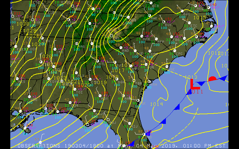
Southeast US Map
Click on image to enlarge